Scoping the Coast with SCAPE: Part Two
Now, my memory isn't what it used to be, but 2 weeks ago members of Scotland's Coastal Archaeology and the Problem of Erosion (SCAPE) visited Caithness to carry out their coastal archaeological survey in Caithness. That means this blog may be a little hazy in parts. My time-keeping is just as bad as my memory, unfortunately, so I was actually late for the second part of the coastal survey!
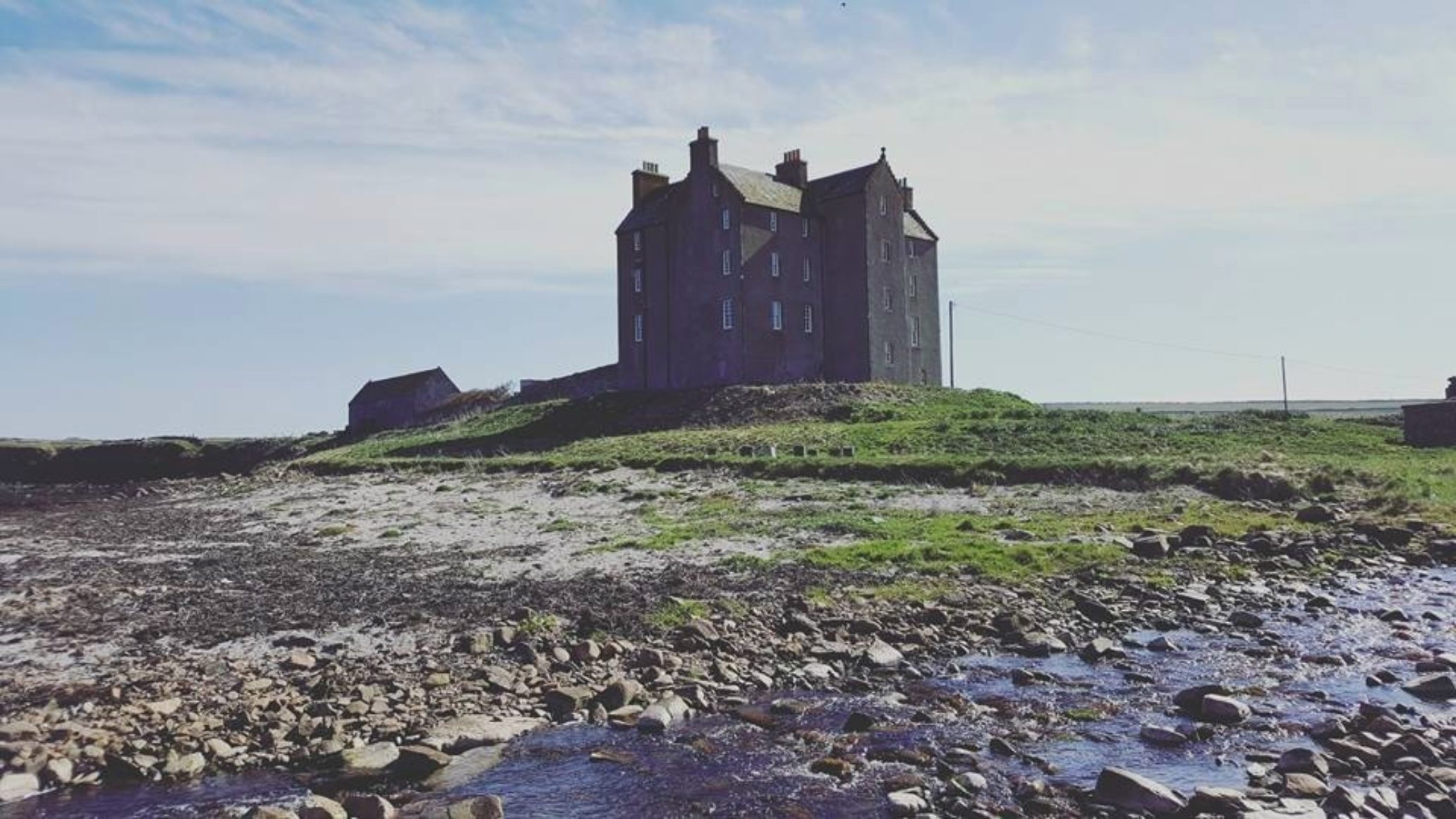
That particular day, SCAPE and the hardy volunteers tackled the northern stretch of the coast, an area spanning between two castles: Freswick Castle and the little-known (even by Caithnessians) Buchollie Castle.
The day started off (I assume) exploring the area around Freswick, which contained a number of interesting structures and ruins. From the very start the group were presented with historic structures - the tank traps - remember, we were looking at all types of historical and archaeological structures. Which begs the question, how old does something have to be before you would consider it worthy of recording?
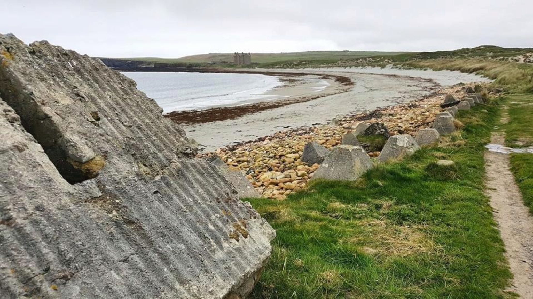
Tank traps at the lovely Freswick Beach
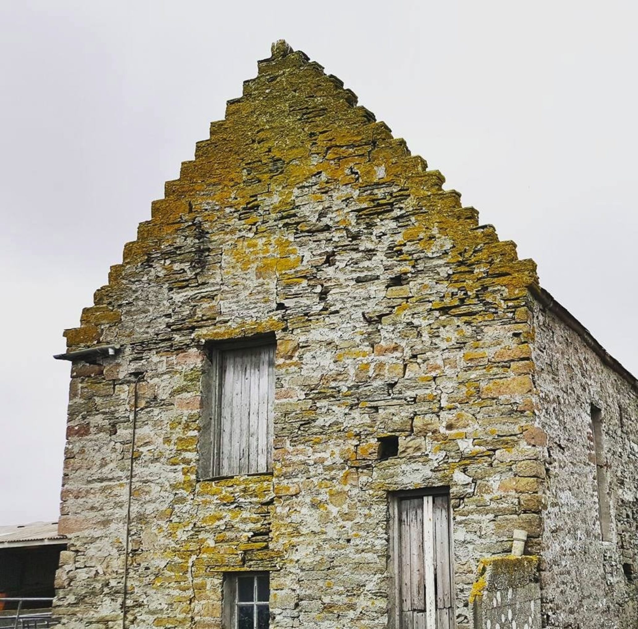
The gang moved on, and investigated a 16th century Dovecote (also known as a doocot), tower-like structures used to house pigeons or doves. Inside these structures contain small 'boxes' which encourage the birds to nest within. The birds were kept for their eggs and meat, so provided a valuable food source. In Scotland, many of the doocots are a 'beehive' shape, circular structures which taper off towards the top - one can't help but wonder if the builders of doocots were partly inspired by broch structures! Sadly, Freswick doocot is rather dilapidated, but it remains an intriguing structure.
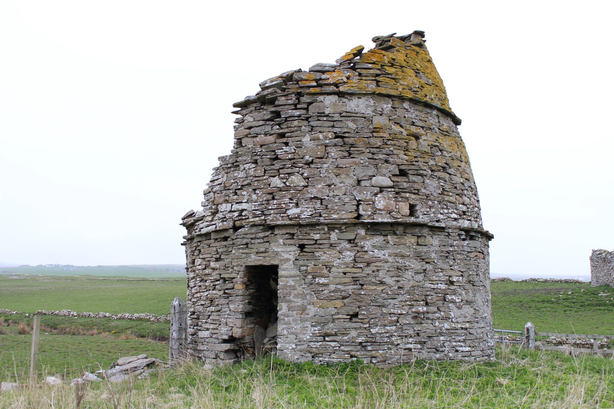
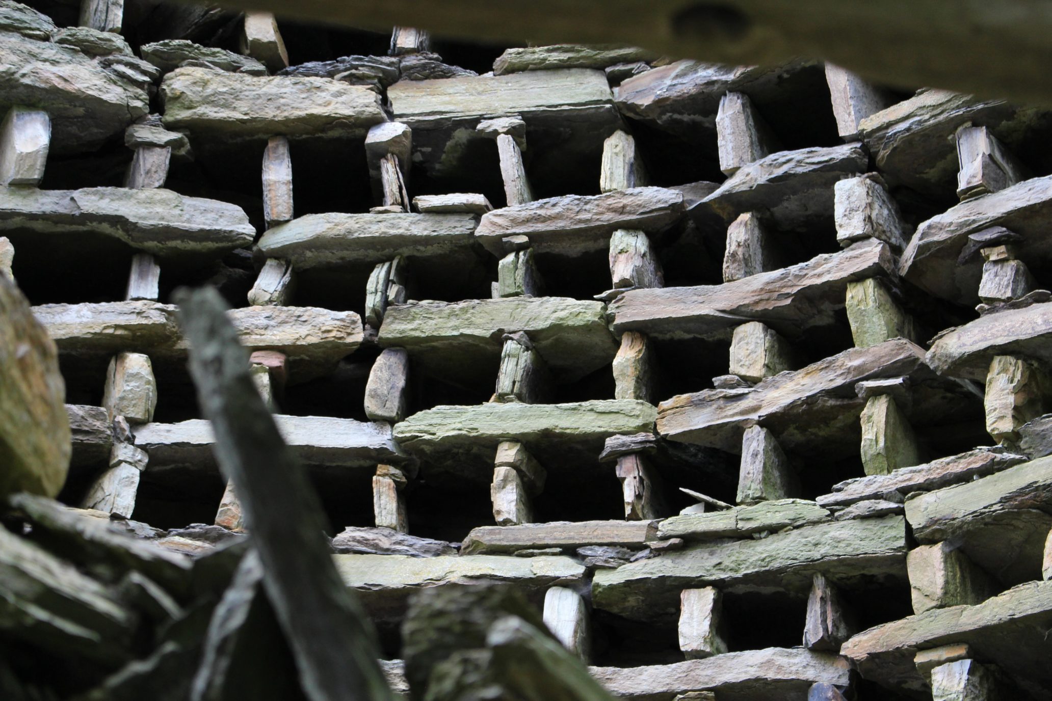
Doocot images courtesy of SCAPE
The group also examined 17th century mausoleum. The mausoleum, with its beautiful circular windows, appears on earlier maps (accessible from the National Library of Scotland's website) which state that the structure is built "on the site of St Maddan's Chapel", so a much-older settlement may exist beneath this building.
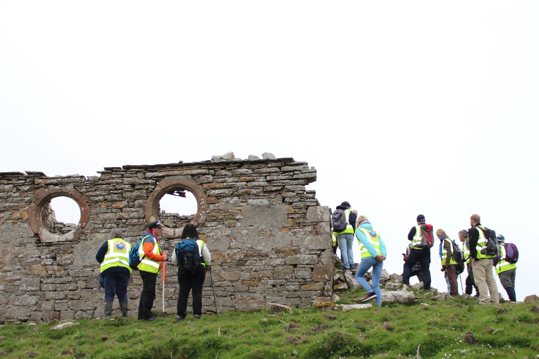
Mausoleum Images courtesy of SCAPE
Looking at the earlier maps, the mausoleum appears to have been roofed, too, as late as 1906. Of course by this point I was in a mausoleum of my own making, waking up like Noseferatu blinking into the sun.
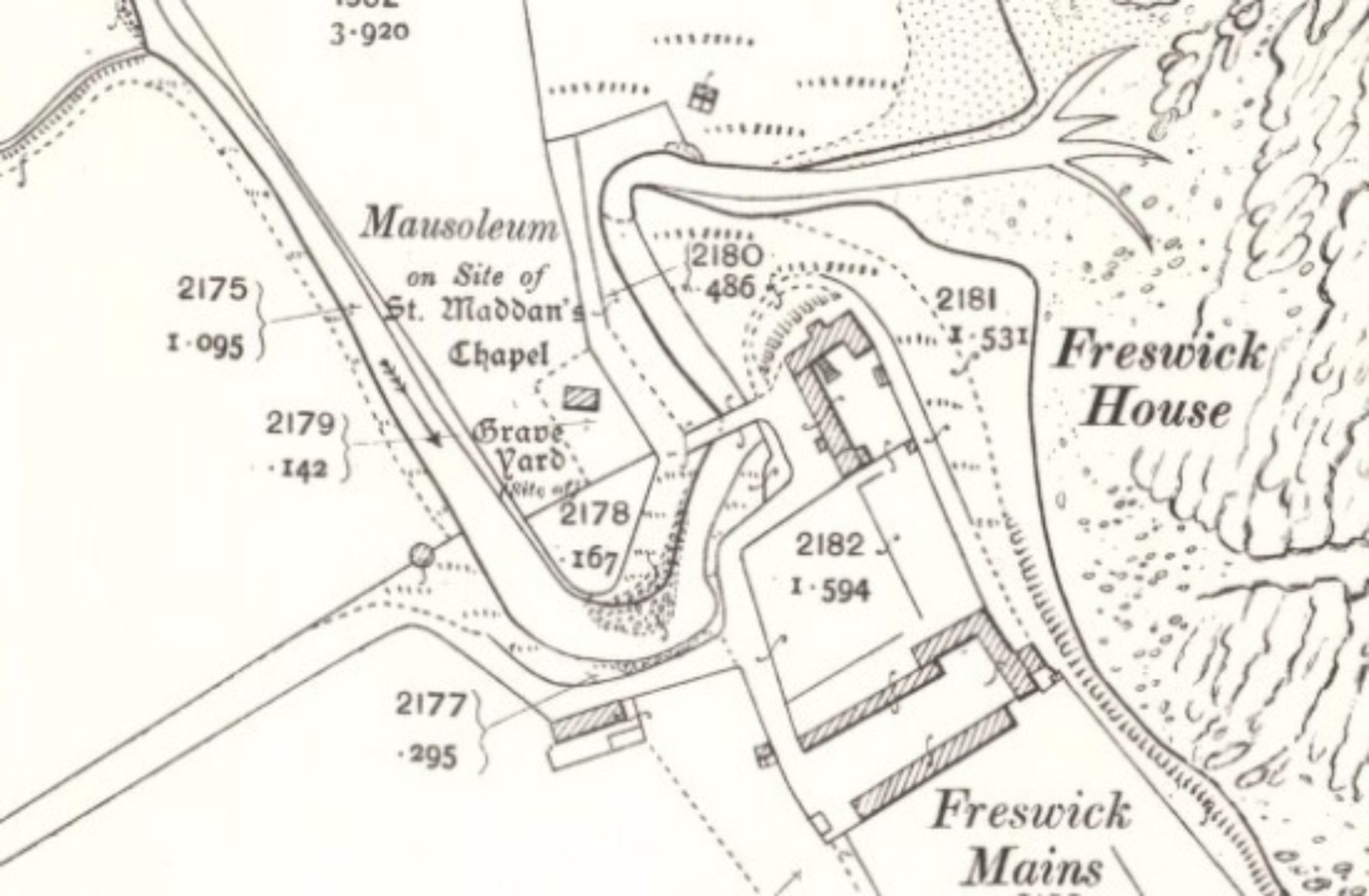
1877 Map
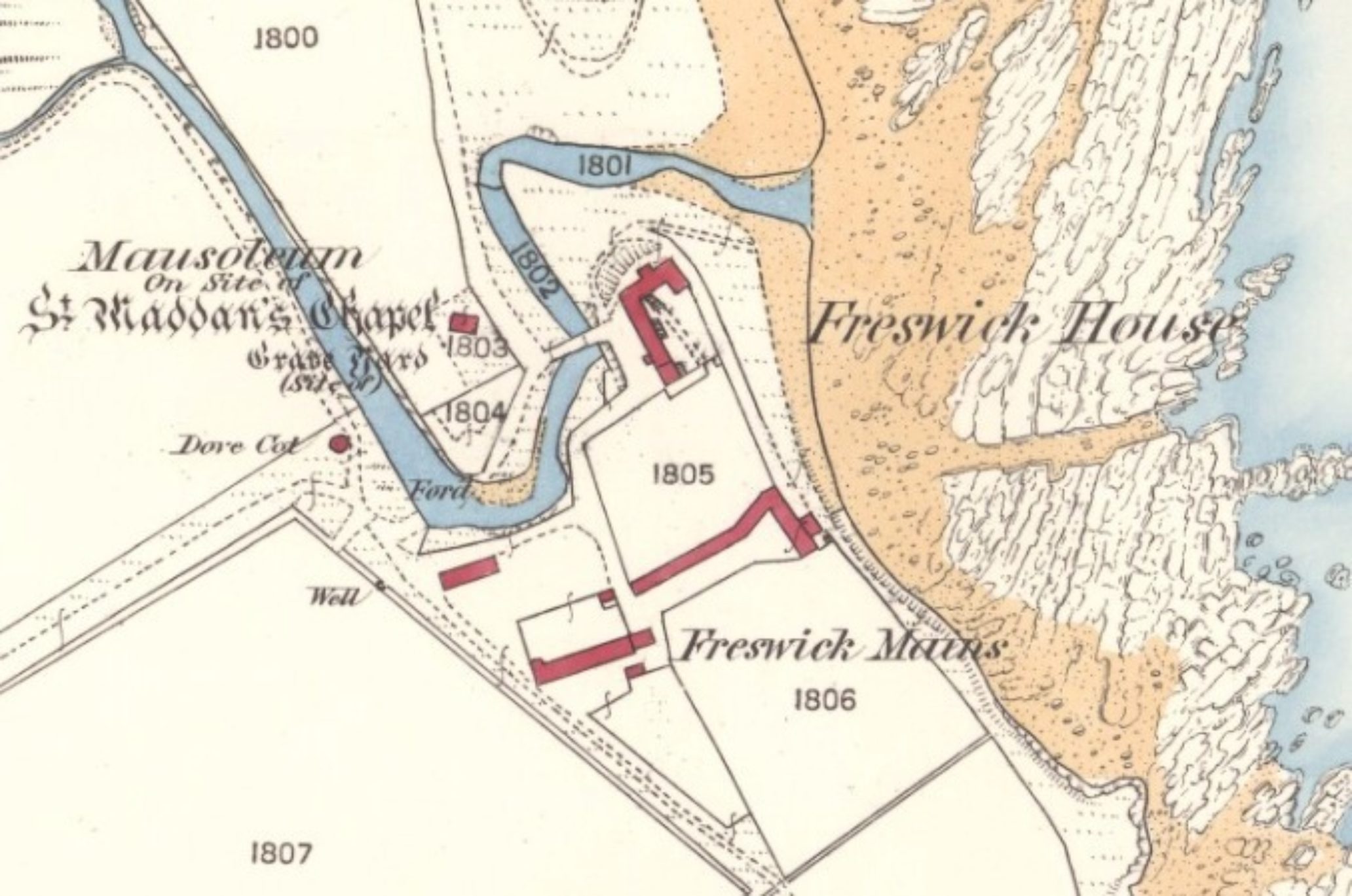
1906 Map
Of course both of these buildings, as interesting as they are, were somewhat out of SCAPE's remit, being too far away from the coast, and under no immediate threat from erosion, so the group didn't dwell on them for too long.
Skirting round the impressive towerhouse of Freswick Castle, SCAPE were able to further investigate a few more interesting structures - including a previously unrecorded midden (basically a pile of rubbish), a beautiful mill structure adjoining the castle, and an unknown walled structure, which seemed to have been roofed at some time - all recorded by SCAPE and their volunteers.
It was at this point I came bounding along Freswick Bay to catch up with the team, as they were recording, according to SCAPE's Ellie, a quite remarkable watermill.
Ness Broch, barely 200 metres away from Freswick Castle, is easily identified by the Tress Barry-built monument located just to the north of the structure. This monument appears, again, to have been built using some of the stones from the broch, possibly by John Nicolson, and was probably used as some sort of viewing tower.
Ness Broch image courtesy of SCAPE
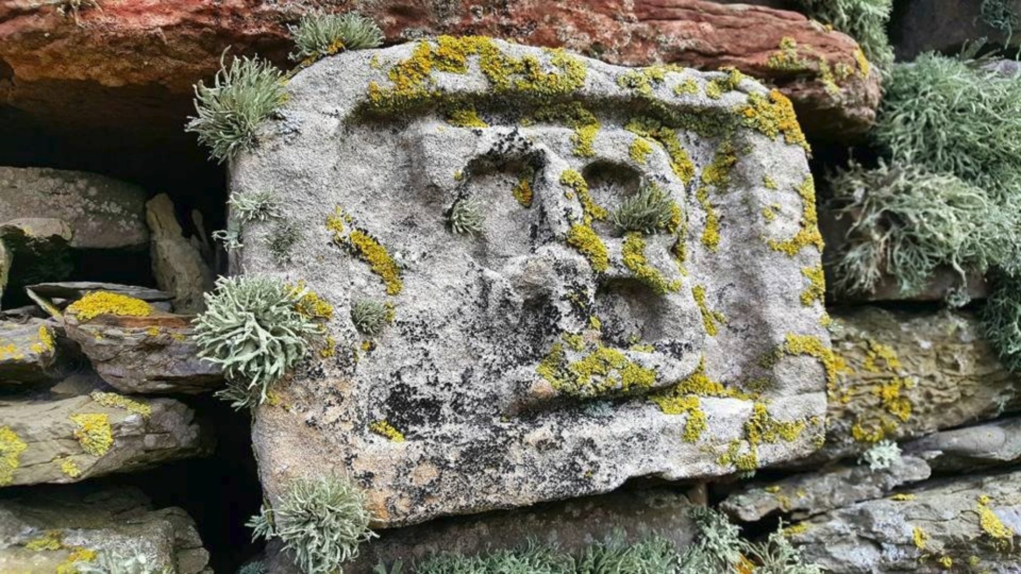
On the west-facing wall is a small 'FB' carving of a rather grotesque face, like something painted by Hieroynmus Bosch, a scene from Dante's Inferno, or, conversely, like something you'd meet in Skinandis.
The broch itself is a somewhat uninspiring, compared to it's Nybster and Skirza neighbours, and it seems Tress Barry, who excavated the broch between 1890-1901, had truly "Tress Barried" it!
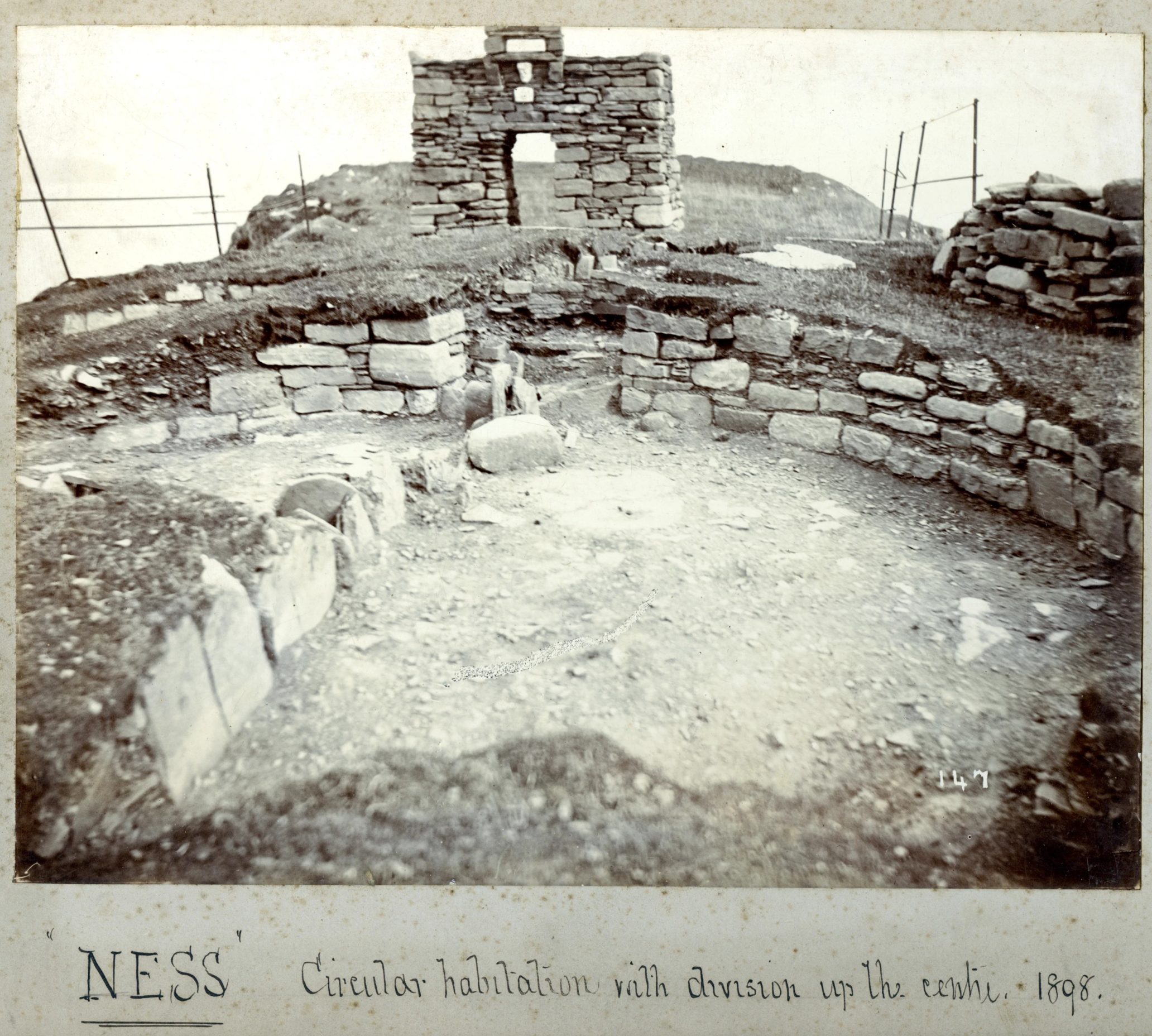
Original Tress Barry photograph, courtesy of Wick Heritage Museum
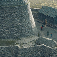
The broch was best viewed from above, and fortunately Caithness Broch Project's very own Chris Sinclair had brought his drone with him. It's from above that brochs look best, and you can begin to understand a bit more about just how impressive these structures are - to the right of the broch you'll note that there are more structures, and it would appear that what is now a geo would have once been land, with buildings on top, which may have due to been cliff collapse rather than erosion.
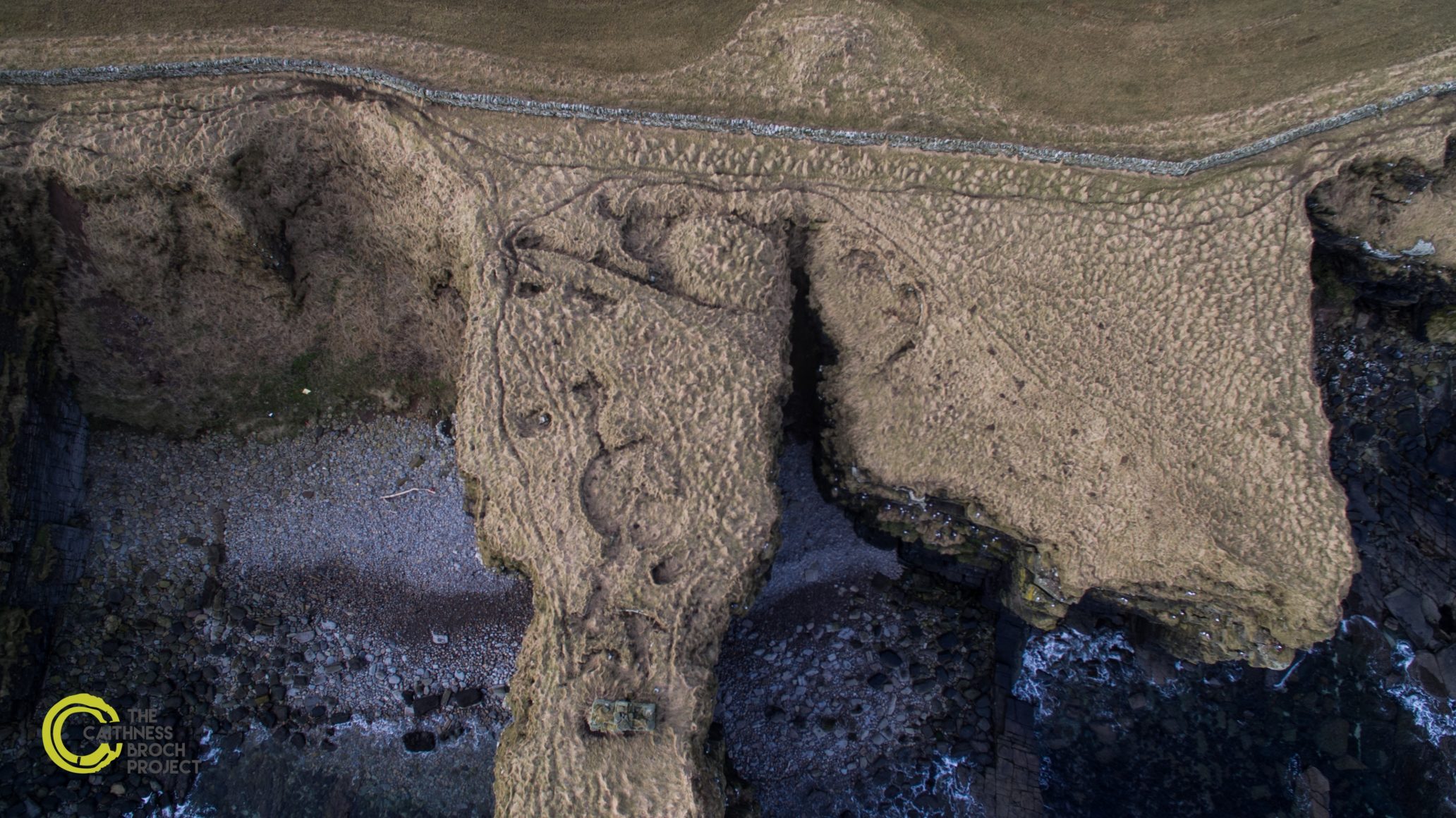
Ness Broch from Above
It would be interesting to see, though, what became of the "Bronze ingots, an ingot mould, and links of a bronze chain" which were found in a mural chamber close to the entrance, as they were donated to the National Museum of Scotland (then known as a the National Museum of Antiquities of Scotland, in 1908. All too often we hear about these fascinating material finds, which are hidden away somewhere in the NMS - or aren't even displayed at all.
It isn't just Caithness who suffers from this problem, however: a more recent and high-profile case involved the Galloway Viking Hoard, which, was allocated to NMS, despite Argyll and Bute Council's 'strong case' for keeping them. But, like the Galloway Hoard, I would wager that these items would be the highlight of the Caithness Broch Centre. There are pros and cons to both arguments, and perhaps that's something which could be discussed in a later feature - one could curate the Museum of Lost Caithness Artefacts, perhaps?
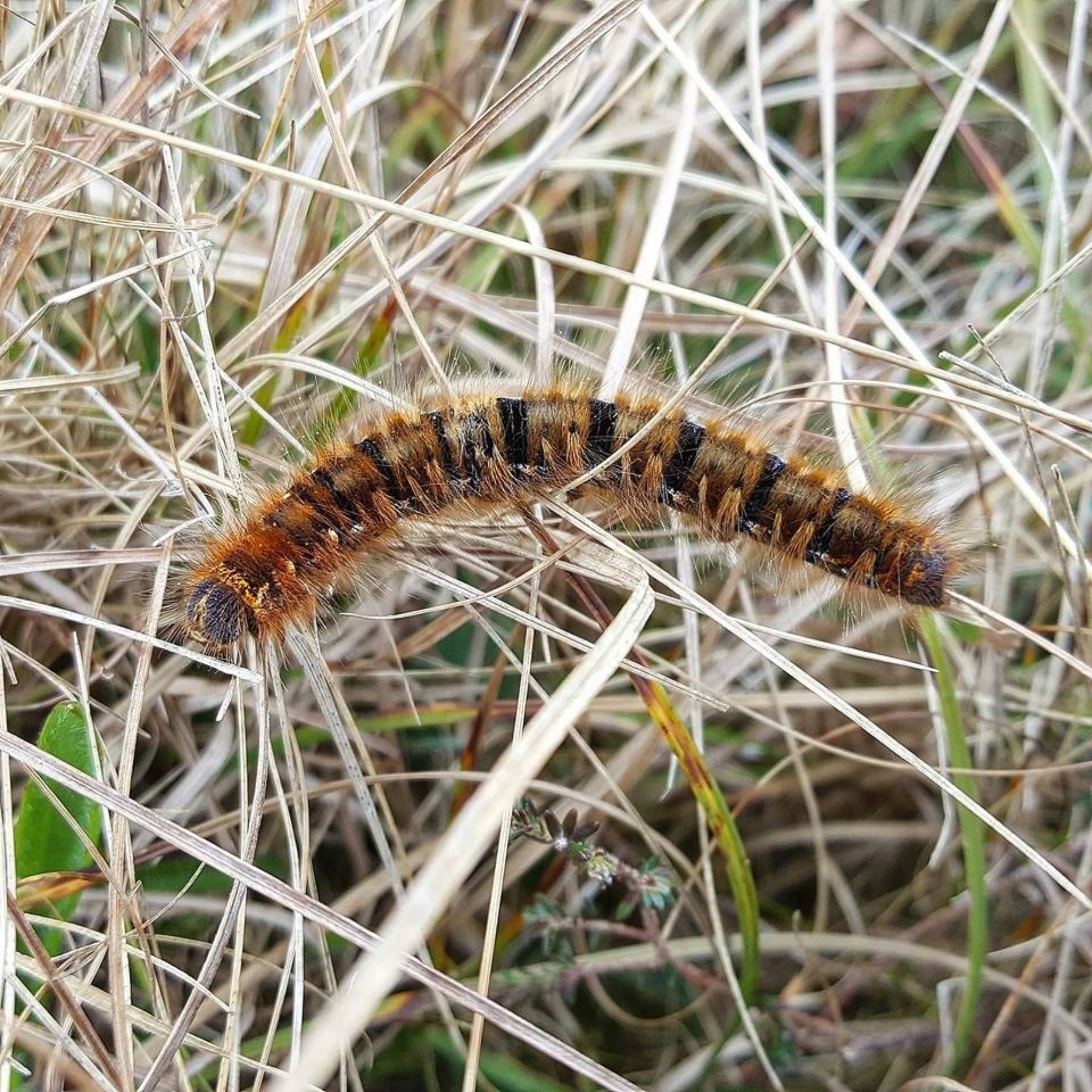
Hairy Caterpillar spotted near Ness
Ness Broch however, was fairly well-recorded, and did not seem to be under any threat of erosion, so we duly carried on. Our next port of call was the foundations of a croft building, and the curious case of the missing kelp pit: two post-medieval structures, which, although perhaps rather uninteresting to the man in the street, indicate some form of continuous habitation and work taking place on this coast. I found the foundations (is that a pun?) of the croft to be most interesting - how much could be archaeologists discern from these scant remains? What sort of research could be undertaken here? What could be learnt from this structure? The very lack of visible remains set my mind abuzz with projects, no matter how little archaeology or history can be seen. Both sites were recorded, and, in the case of the kelp pit, the position of the last entry of this structure on SCAPE's record was updated.
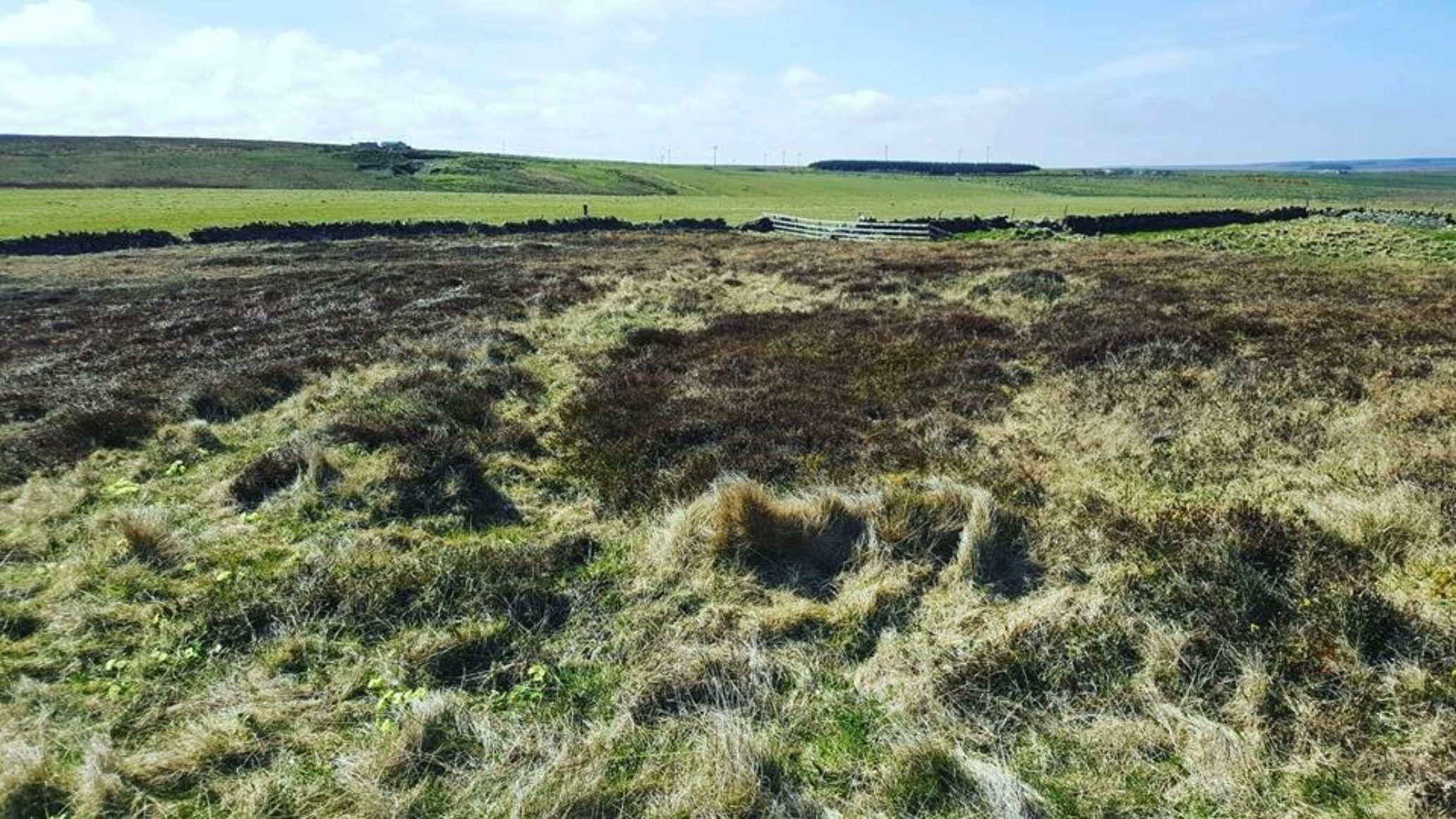
Can you see the croft's foundations?
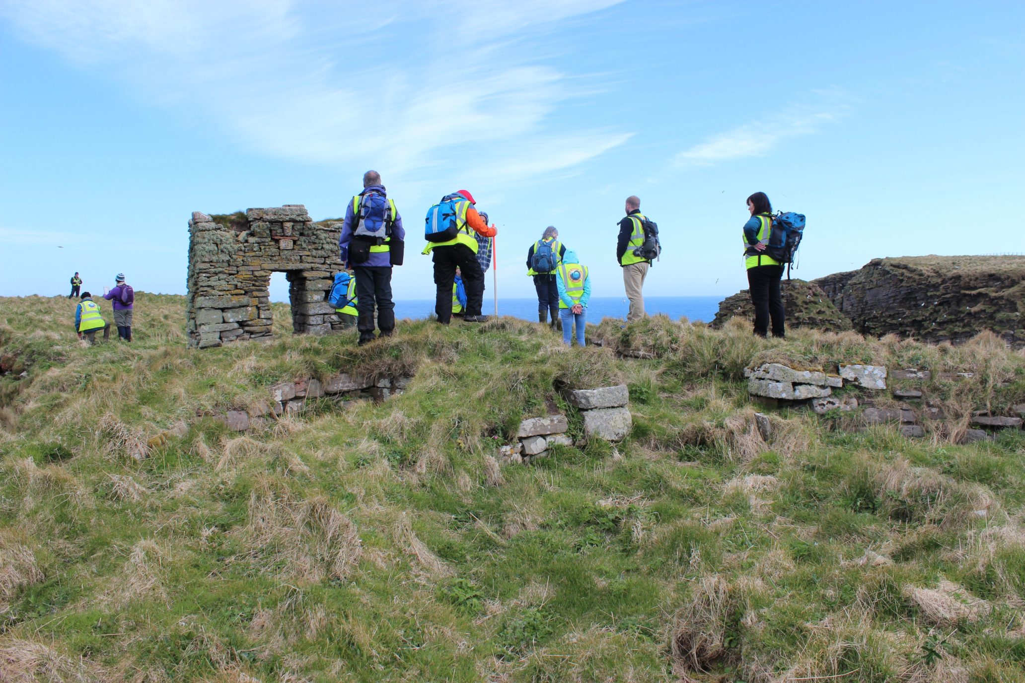
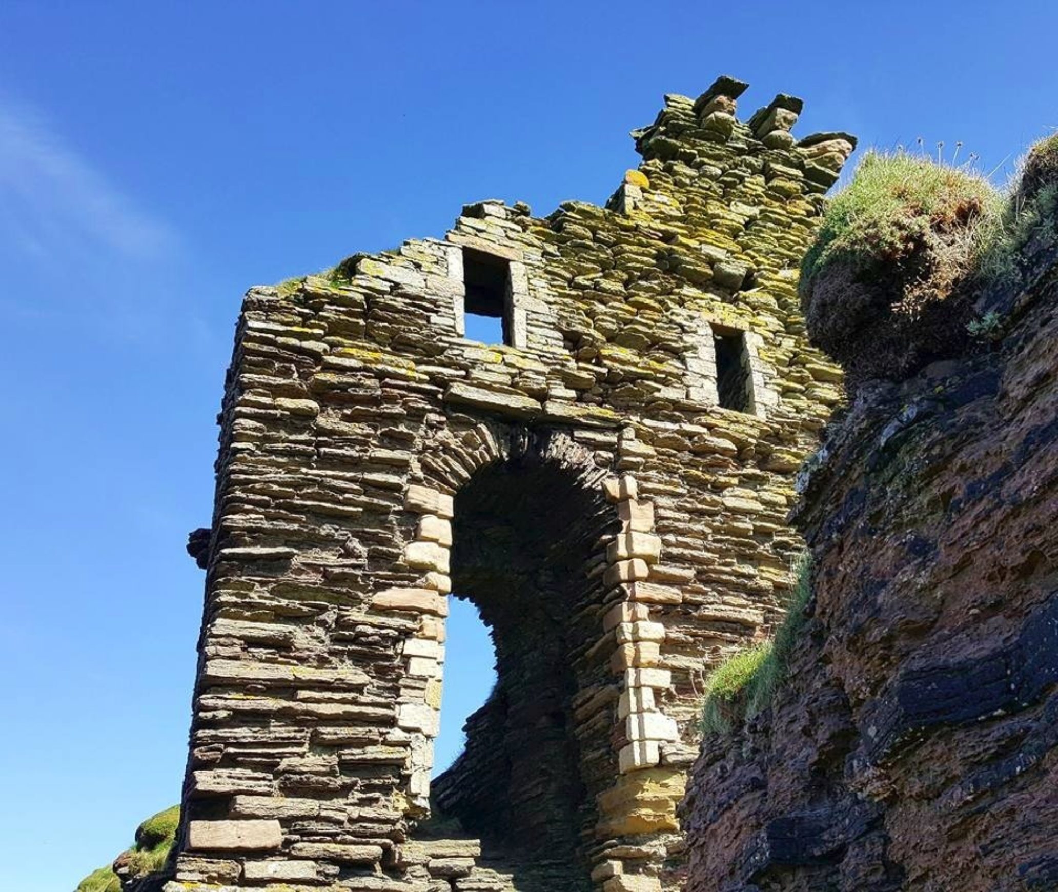
Bucholie Castle, or Bucholly Castle, sometimes referred to as Lambaborg Castle was next on our list, and I was excited to see the reaction to some of the volunteers' faces. The castle is one of my favourite sites in Caithness, in that it is so hidden away, yet so spectacular. A perilously-perched fortification, a castle which coalesces into the red sandstone cliffs, and, though the curved entrance and sandstone-flourished windows give the structure an almost-welcoming 'face', the castle is anything but: teetering on the edge of these 60 foot cliffs, it is a real statement of intent: "Come and have a go if you think you're hard enough!", it says.
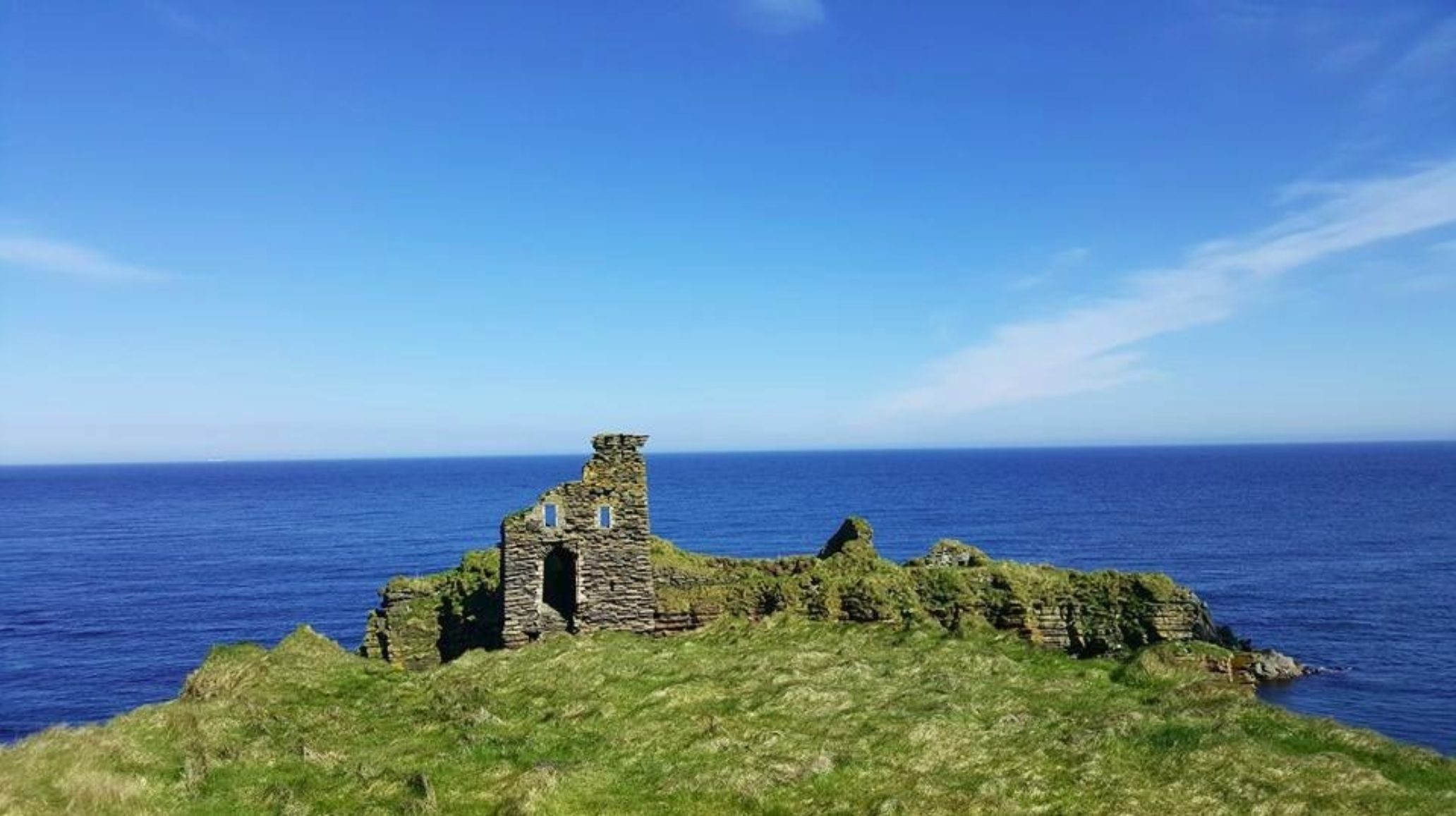
I can only imagine what it would have been like for would-be attackers to face down a hail of arrows and stones. Recently I visited the castle only to find the entrance protected by a fulmar and its egg, I can safely say I wouldn't be much use in Medieval siege warfare given how demoralised I was by fulmar vomit!
At this point it would be wise to mention that the castle may have been the 'Lambaborg' mentioned in the Orkneyinga Saga, but Lambaborg may have refered to Ness Broch, given that 'borg' is the Old Norse term for 'broch'. Whichever the case, Lambaborg was once under the control of the "The Ultimate Viking" Svein Asleifarson, who did lots of Viking stuff like cheat, steal, kill and abseil. I may need to explain that last one in a later feature!
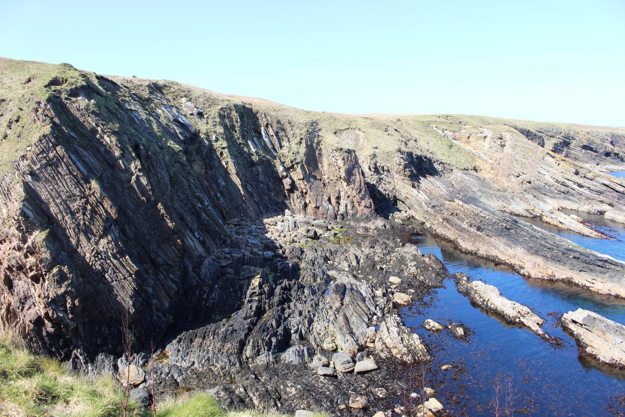
Fascinating geology at Bucholie
The group began to splinter off into smaller groups - some were foolhardy enough to cross the thin wedge of land connecting Castle Geo (upon which Bucholie stands) to the mainland, whilst other groups were content soaking up the view to the castle. From Castle Geo, the view, as always, was incredible. To the north, wild rock formations which swirl and dive into the sea - you can tell there was some sort of major geological activity here - and to the south, the beautiful coastline of Caithness. The salt in the air, the sun illuminating a medieval castle, a day well spent and happy SCAPE-ers dotted across the coast - well, I remember it was like yesterday!
P.S.
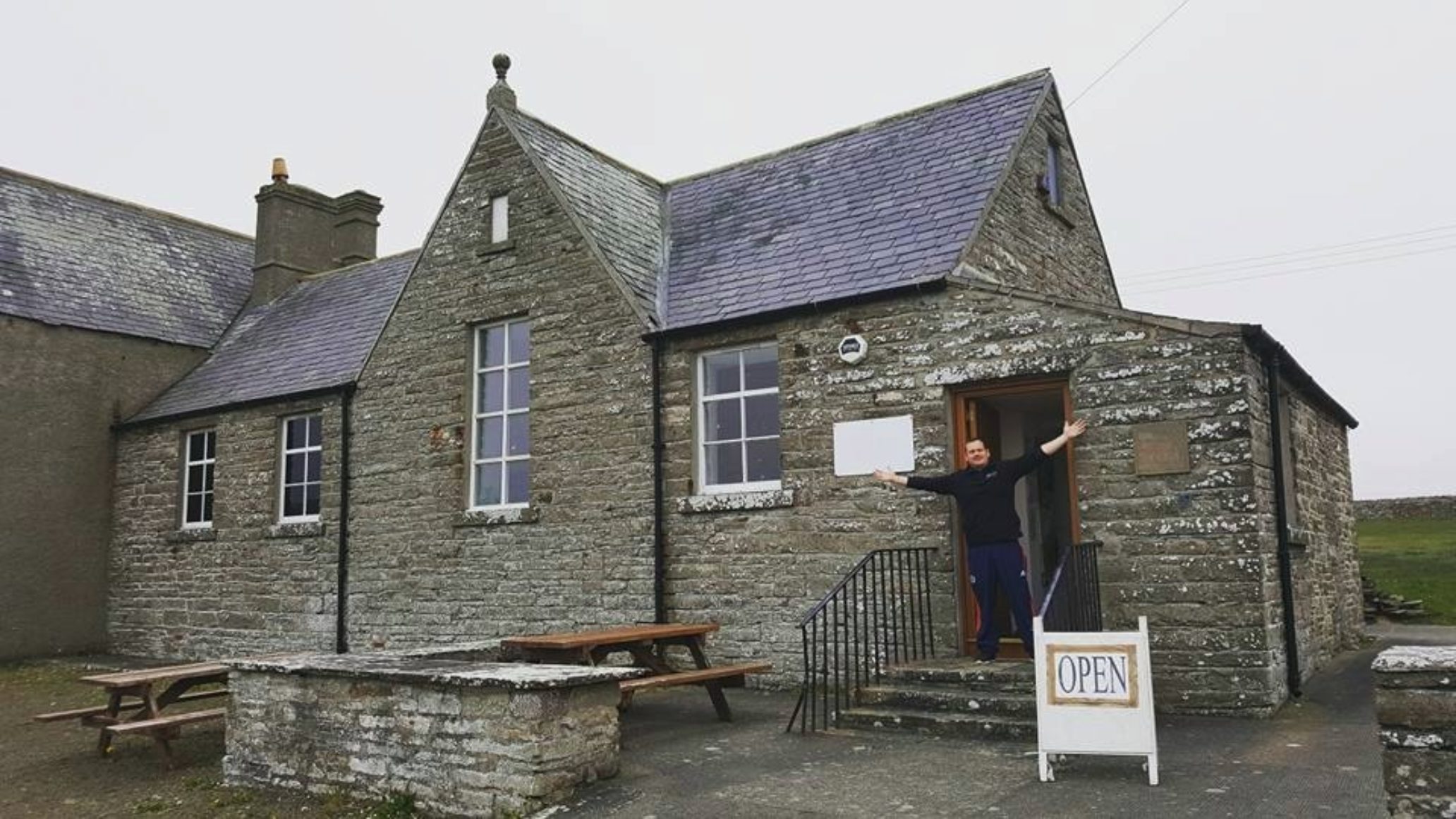
Big thanks to Caithness Broch Centre / High Life Highland's Martyn Malcolm for keeping the broch centre open an hour later than usual so some of the volunteers could visit - see below for pics
Martyn, you're a top man!